
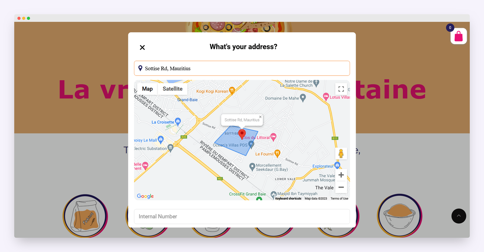
Smart Shipping Zone Integration with Google Maps API
Developed an interactive shipping boundary system using Google Maps API to restrict deliveries to predefined geographic zones. Integrated dynamic map rendering with custom polygonal zones to ensure accurate address validation during checkout. Enhanced logistics efficiency and prevented out-of-bound shipping requests in real time.
Category
Logistics Tech / Google Maps Integration
Client
Mateo García
Duration
3 Weeks
Country
Spain
Key Features
- 🗺️ Google Maps API Integration
- 🧭 Custom Polygon Zone Drawing
- 📍 Real-Time Address Validation
- 🚫 Out-of-Zone Delivery Restriction
- 💬 Instant Checkout Notifications
- ⚙️ Dynamic Map Rendering
- 🔄 Seamless WooCommerce Integration
- 🧩 Flexible Zone Configuration
- 📦 Optimized Delivery Workflow
